
 Developer Program
 Mapping Engine
Use your license keys to leverage the power of the most capable and feature-rich mapping engine for Web and Windows on planet Earth today.
Altus Mapping EngineResources
Access SDK downloads, and build and publish your software easily with our extensive collection of documentation, tutorials, live demos, and sample code.
Docs 45+ JS FiddlesSupport
Browse existing questions and solutions, get help from other Altus developers, and gain access to communicate directly with the Altus engineering team.
Altus Developer Forum
Mapping Engine
Radically improve the performance and capabilities of your initiatives, delivering the unparalleled speed, power, and flexibility that your applications deserve.
The Altus Mapping Engine is a huge technological leap forward that enables you to create amazing solutions that model our planet in a more realistic way and provides a path forward for those who have hit the limits of off-the-shelf map SDKs. It enables you to visualize your data, your GIS assets, your missions, and your scenarios in the novel ways you envision without third party control or manipulation of your users and data.
The Altus Mapping Engine allows you to create maps that would be impossible in other mapping engines. It is built from the ground up on a native core and makes maximum use of the onboard GPU to produce stellar performance. Your products will be able to visualize more than ever before.
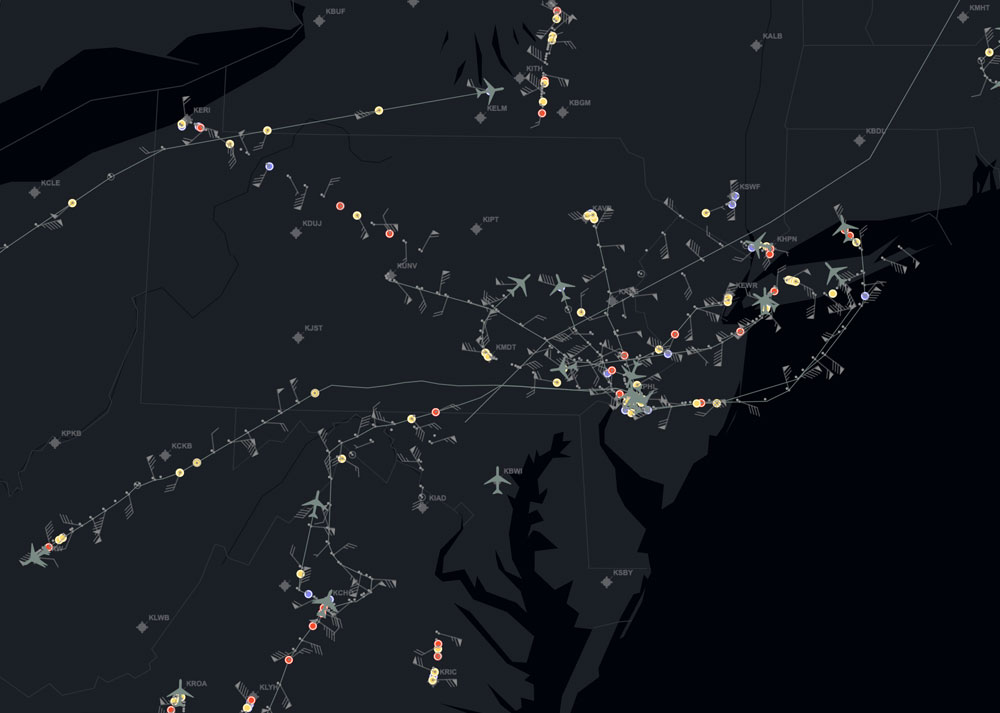
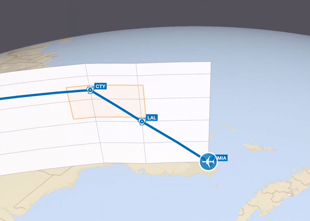
Easily maximize your customers' benefit by avoiding the scalability limitations typically experienced with other mapping engines. Add a layer with hundreds of thousands of markers. Add supplemental raster images. Add 3D models. Add layers of polygons and lines, either on the surface or in the air. Add weather layers. Stack layers on top of each other if you like. Altus can handle whatever you need to do.
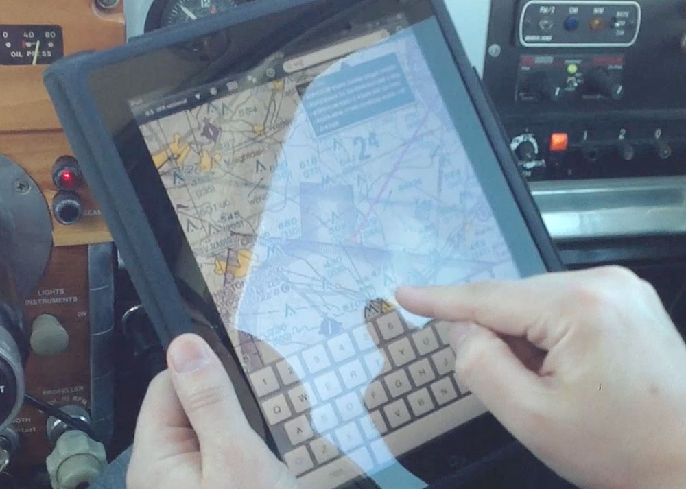
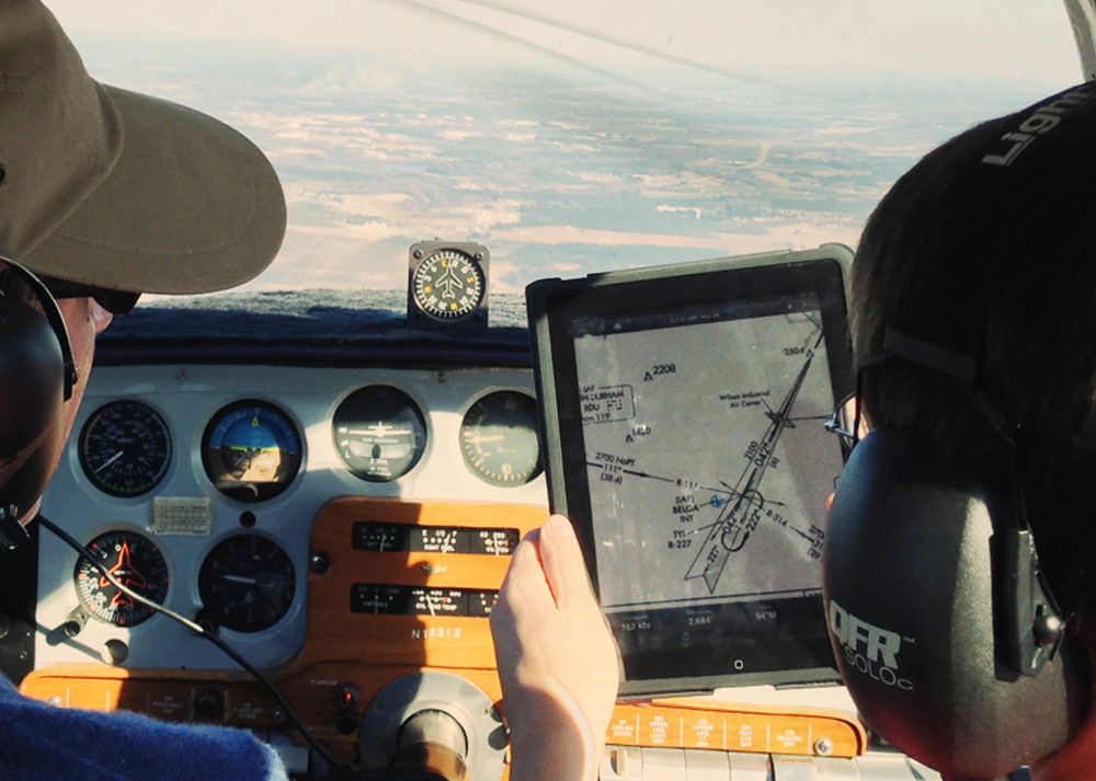
Hundreds of thousands of pilots trust the Altus Mapping Engine every day for flight planning, navigation, security, situational awareness, and defense scenarios. Your products will enjoy the same stability we bring to the aviation industry.
Altus is natively 3D. You have full control to point the camera straight down to look at a "flat map" or tilt the camera to see your scene from a different perspective. This seamless 2D/3D functionality assists with the comprehension of visual information by smoothly switching context. This is always present in Altus–a switch of modes or data is not required.
Terrain is baked into the mapping engine from the ground up. Your map can be flat, or it can accurately display terrain either with images draped over the terrain or with your own custom terrain color bar.
FiddleYou no longer have to rely on low resolution, pre-rendered raster images typically used in weather displays. Altus gets closer to the source data model by integrating common formats underlying different products like radar, temperature, precipitation, and wind speed and direction.
We’ve exposed a pattern of high fidelity rendering of weather that enables:
- Higher resolution look and feel
- Faster downloads
- Flexible color display
At runtime, configurable colors and sampling can be used to create a smooth look from high or low resolution data.
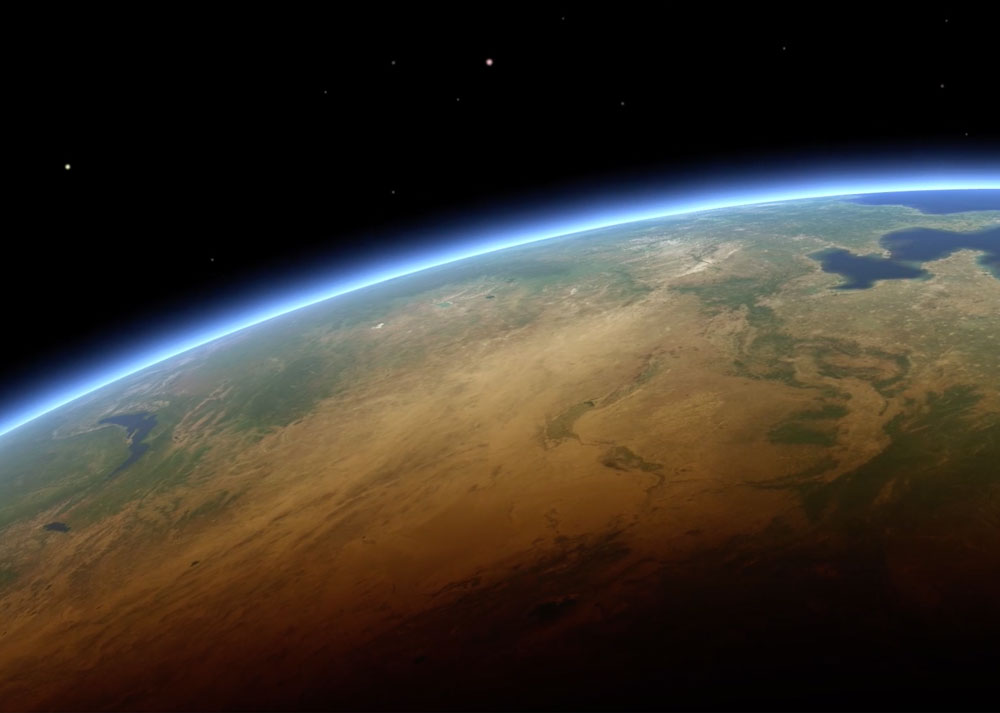
The lighting model in Altus helps create an improved level of realism. This includes the rendering of an atmosphere layer and flexible control for the developer so each application can have its own style. The improvements can benefit applications aiming for general or thematic cartography.
Control over the backdrop of Altus can have a big impact on the look and feel of an application. The sky control exposes a way to control a rendered starfield, background color, and background images.
Altus gives developers easy ways to work with both online and offline data, because the data formats are identical. Do you have a set of 200,000 markers? The marker file can be downloaded to the device for offline visibility. Or the file can live on a server and stream in over the Internet to save space on the device. It is also possible to handle situations where the internet connection is intermittent. Raster tiles, vector tiles, terrain, markers and weather can all exist on device or on the server.
|
Web and Windows Altus Mapping Engine
Your license key gives you a watermark-free version of the SDK. It also gives you the license to publish your application built on top of our powerful Altus mapping platform (1 license for Windows; Up to 3 licenses for Web).
|
|
|
Full access to the Altus forum
In addition to browsing existing questions and solutions, you have the ability to ask new questions to get help from other Altus developers. You also gain access to communicate directly with the Altus engineering team.
|
|
|
Documentation, tutorials, and sample code
Build and publish your software easily with our extensive collection of documentation, tutorials and sample code.
|
|
|
All SDK updates
The Altus Mapping Engine is constantly improving. You get all updates to the Web and Windows platform SDKs.
|
|
| Join Now $1,999 / ANNUAL SUBSCRIPTION | |
